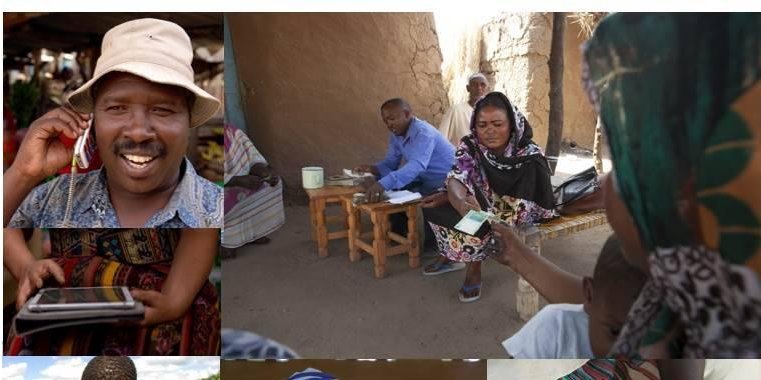
SmartAfriHub Workshop Part 1
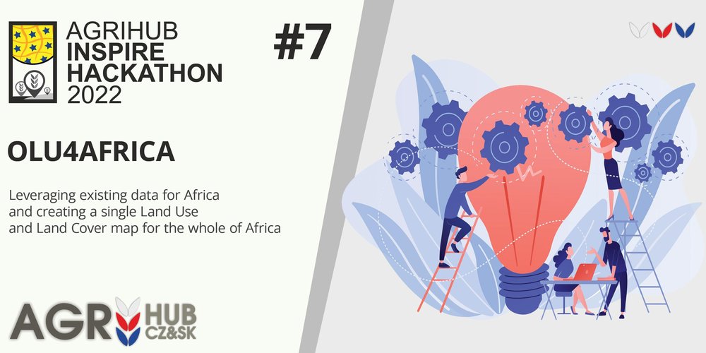
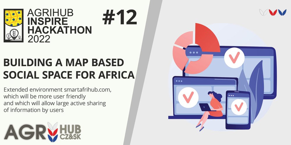
Agrihub INSPIRE Hackathon 2022
May 5, 2022 • František Zadražil
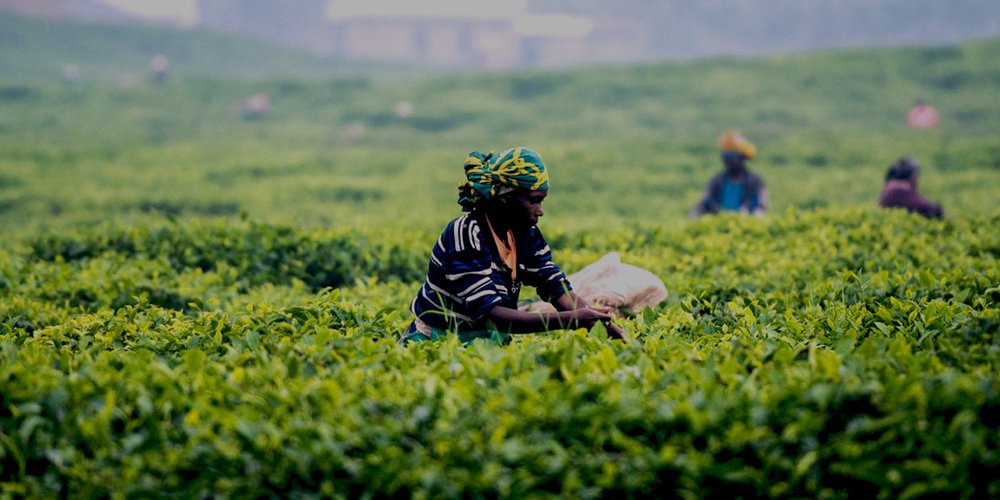
SmartAfriHub NG was presented today at an interactive workshop. The participants could try how to publish their own geodata and complete maps. The event was organized as a part of Agrihub INSPIRE H...