Blog
KijaniSpace project
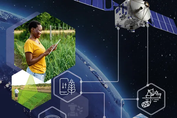
KijaniSpace - Empowering Climate Smart Agriculture with Copernicus and IoT Innovations
June 7, 2026 • František Zadražil
KijaniSpace is an innovative European initiative focused on promoting biodiversity, sustainability, and green urban infrastructure. The project aims to transform urban environments by developing smar
SmartAfriHub Workshop Part 1
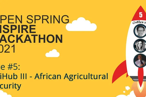
Agrihub INSPIRE Hackathon 2022
May 5, 2022 • František Zadražil
SmartAfriHub NG was presented today at an interactive workshop. The participants could try how to publish their own geodata and complete maps. The event was organized as a part of Agrihub INSPIRE Hac
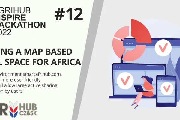
Agrihub INSPIRE Hackathon 2022: Help us build a map based social space for Africa via Challenge #12
March 31, 2022 • Hana Kubickova
During last year's INSPIRE Hackathon the SmartAfriHubs Digital Innovation Hub (https://www.smartafrihub.com/cs/home) was developed. Moreover, there was a community built around it, which is now activ
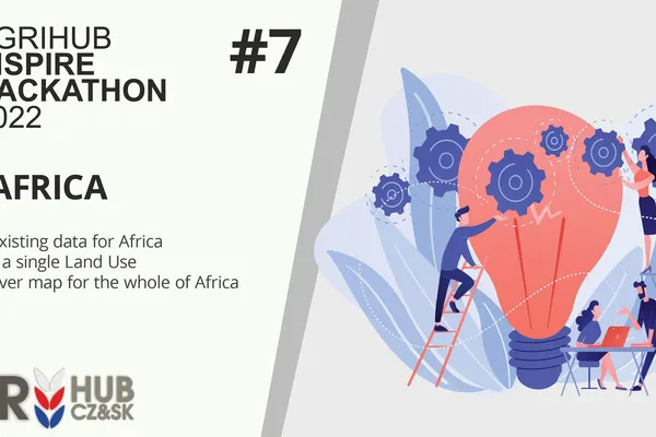
Agrihub INSPIRE Hackathon 2022: Challenge #7 OLU4Africa
March 31, 2022 • Hana Kubickova
The Open Land Use is an initiative of Plan4All association to create a seamless land use/ land cover map. At first, the initiative was focused on creating an OLU map just for Europe filling it just w
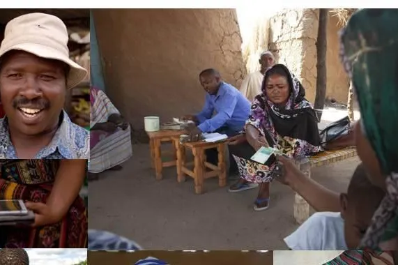
Innovations in Rural Digital Financial Services and Remittances in AfricaWebinar
Feb. 17, 2022 • Hana Kubickova
Feb 24, 2022 Thu 9:00 AM -10:30 AM EST (Washington DC time), 15:00 PM - 16:30 PM CET Click here to convert to your local Time WebEx (information enclosed below) Digitalization and access to data in
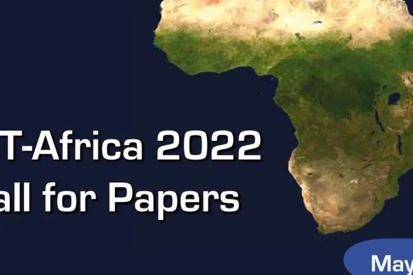
IST-Africa 2022 – Call for Papers – Extended Deadline 31 December
Dec. 20, 2021 • Hana Kubickova
Hosted by the Government of South Africa through the Department of Science and Innovation and Supported by the European Commission (EC) and African Union Commission (AUC), IST-Africa 2022 (May) is th

Leveling Water Supply and Just-In-Time Irrigation
May 7, 2021 • Tuula Loytty
Challenge 5 provision is to build knowledge that is based on maps and satellite images for infrastructure investors to enhance Leveling Rural Water Supply and Just-In-Time Irrigation. The infrast
Innovation portal survey
Jan. 19, 2021 • Petr Uhlíř
Dear Innovation Portal user, Your opinion matters to us! Thank you for taking the time to answer a few questions about your experience with the Innovation Portal, and to outline your needs and expect

The GEO Indigenous Summit 2020
Dec. 4, 2020 • Hana Kubickova
The GEO Indigenous Summit 2020 7-9 December 2020 Online Join Indigenous leaders from around the world as they discuss Indigenous-led innovation in Earth observations data, science and technology.